|
|
GEM 49+ for maps above the border
|
|
|
|
|
standard GEM |
Living in CanadaThe problem with many GPS/GIS programs is that the maps are very USA focussed. The fact that I'm one of those living above 49° latitudeFor those living "north of the border" (or those planning to visit), the availability of online maps was always a bit limited. Toporama was there, but the quality was not that good. This has changed with the release of Toporama II. With topographic maps of a variable scale starting at 1:20,000 this has become a great source of mapping for Canada. Therefore, good enough reason to create a new member in the Gem family, which I've baptized "Gem 49+". No offence of course to those Canadians living at lower latitudes than 49°. And because plus-signs don't do well as part of filenames, I will use the alias GemPlus wherever it's more appropriate. |
|
|
How it worksBecause Gem 49+ is very similar in functinality to the original Gem, please read the web-page for that program first.To install the program, simply download and unzip it into a suitable directory, like "C:\Program Files\GemPlus\". In the program directory you will find an executable and some configuration files. When running the program for the first time, a subdirectory with the name "Maps" will be created to store the maps you download. It is a good idea to create on your desktop a shortcut to the executable.
|
|
|
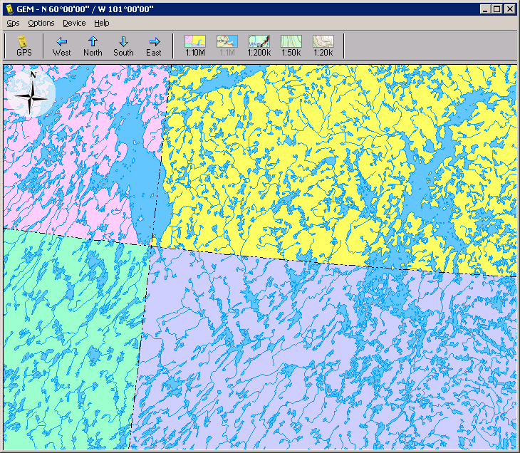
Lambert Conformal ConicEspecially for people living in the Pacific or Atlantic provinces of Canada, the projection method used by Toporama looks at first a bit weird. Mmm, at second it still does :-).The Lambert Conformal Conic (LCC) projection, as adopted by National Resources Canada for Toporama II has pro's and con's, but the biggest problem for those living "on the side" is that "North" is not the same as "Up", therefore, by default, a North arrow gets drawn in the corner of the map. |
|
|
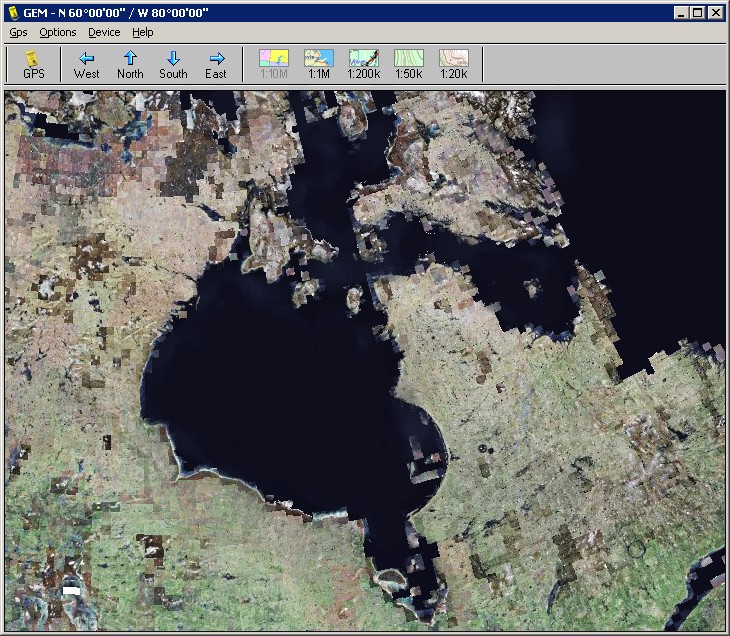
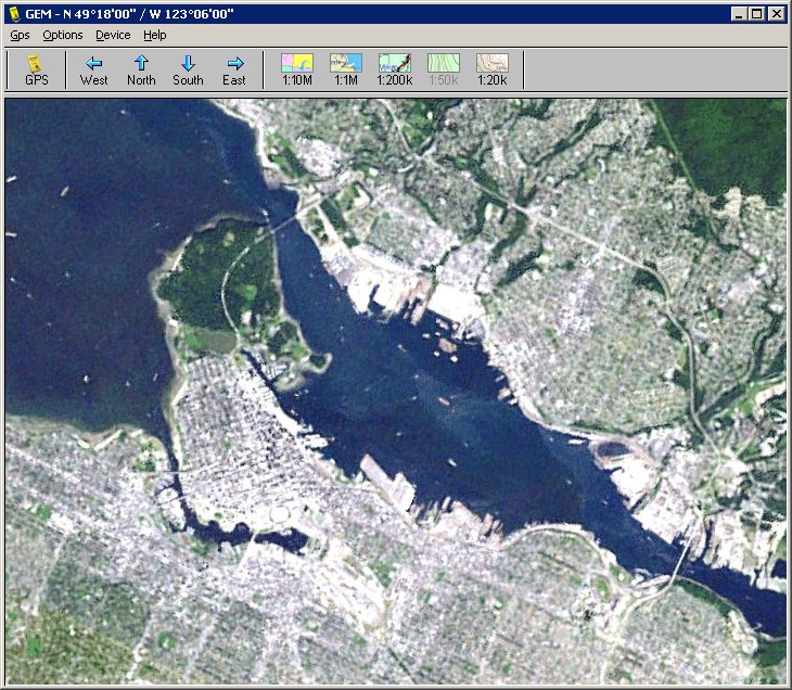
Satellite imagesToporama II, doesn't have the high-res aerial photos that we know so well from Google Maps and Google Earth. But still it makes available a nice set of satellite pictures from CanImage.
|
|
|
FeaturesAs Gem regulars know, some of the program's features can be tuned from the gem_ini.txt file. Besides the regular parameters, there are a few special for Gem 49+. With Grid=Yes maps will be downloaded from Toporama including gridlines and topo mapnumbers. But be aware that because GemPlus is caching maps, you have to do a Gps->Reload if you want to reverse this action.Another feature controlled from gem_ini.txt is the disabling of the north-arrow. With Rose=No, maps will not have these overlays, which can be useful if you like to stitch maps together. |
|
|
|
The nitty gritty stuffGem 49+ is shareware. A few features (such as the satellite images) have been disabled to encourage
|
|
|
|
|